

A Tutorial on GeoAI: Building Footprint Extraction Pipeline
An end-to-end guide on transforming raw aerial imagery into structured building vector data using advanced deep learning models.
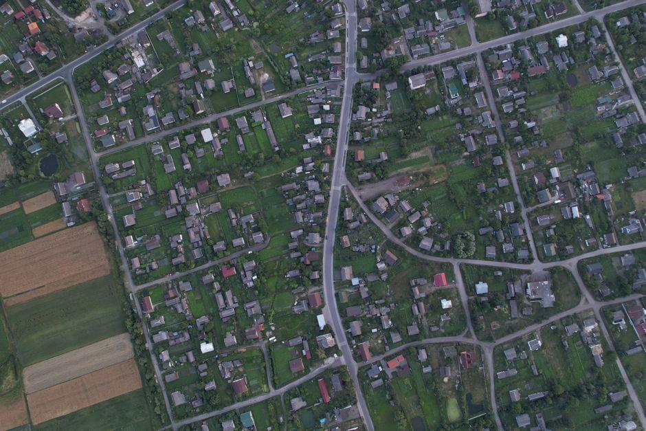
Stock photo for illustration only, not from the actual event
- Explores an end-to-end geospatial deep learning pipeline for building extraction
- Compares custom training, prompt-based detection, and ready-to-use models
- Covers dataset preparation, semantic segmentation, and vector geometry conversion
This tutorial outlines the creation of an end-to-end geospatial deep learning pipeline that successfully converts raw aerial imagery into structured, analysis-ready building footprint data. The workflow encompasses preparing training samples, training and evaluating a semantic segmentation model, generating seamless predictions, and refining raster outputs into orthogonalized vector geometries complete with spatial attributes.
In addition to custom training, the guide examines alternative extraction methods using zero-shot foundation models and pretrained instance segmentation. This evaluation sheds light on the trade-offs involved when choosing between custom model training, prompt-based detection, and utilizing off-the-shelf ready-to-use models.
Stock photo for illustration only, not from the actual event
Integrating GeoAI methodologies with high-resolution aerial imagery, such as those from NAIP, represents a major leap forward in automated cartography. Combining traditional segmentation architectures like U-Net with modern foundation models like SAM and Grounding DINO bridges the gap between precise boundary extraction and flexible zero-shot generalizability, opening up new possibilities for large-scale geospatial analysis.
By packaging generated masks, probability rasters, evaluation plots, trained weights, and GeoJSON outputs, the project establishes a reusable foundation that can be readily adapted for various applications, including:
- Land-cover mapping
- Infrastructure detection
- Change analysis
- Large-scale GeoAI applications
This piece was written by Sana Hassan, a consulting intern at Marktechpost and dual-degree student at IIT Madras who is passionate about applying technology and AI to tackle real-world challenges.
Source: MarkTechPost
Found something wrong in this article? Report an issue with this article
Comments
Leave a Comment