

Ring of Fire: Global Earthquake and Volcano Map Guide
Explore the Ring of Fire Pacific basin layout, high-risk countries from USGS data, and geological impacts affecting surrounding regions.
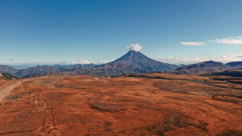
Stock photo for illustration only, not from the actual event
- The Ring of Fire is a horseshoe-shaped arc of volcanoes and ocean trenches around the Pacific.
- Geological activity is driven by tectonic plate interactions according to the USGS.
- It spans major territories across Oceania, Asia, and the Americas.
- Thailand is not directly on the ring but can experience distant tremors.
The Ring of Fire is an arc of volcanoes and deep ocean trenches surrounding parts of the Pacific Ocean basin, forming a horseshoe or ring-like shape. According to the United States Geological Survey, or USGS, this area is a zone of frequent earthquakes and volcanic eruptions, featuring deep ocean trenches on the outside and parallel volcanic island chains closer to the landmasses.
Despite the name ring, it does not form a complete unbroken circle but rather groups multiple trench and volcano systems aligned around the Pacific. These areas interact through tectonic plate movements where converging plates subduct beneath one another, creating trenches, earthquakes, and volcanic activity continuously across the Pacific periphery.
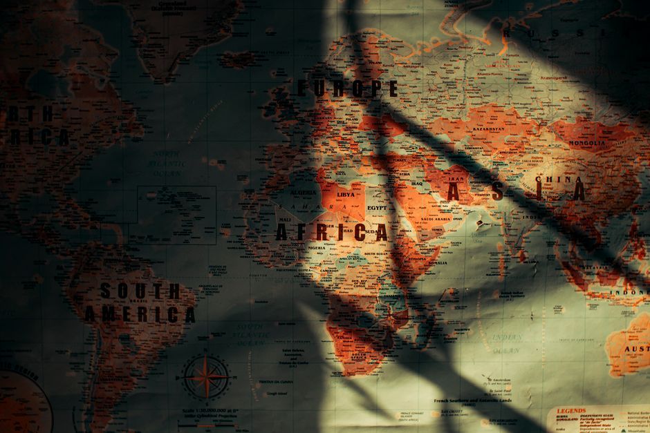
Stock photo for illustration only, not from the actual event
The Ring of Fire extends from Oceania and Asia northward across the Pacific before looping down along the western coast of the Americas. Important countries and territories located on or near this zone include:
- New Zealand, Papua New Guinea, and the Solomon Islands
- Indonesia and the Philippines
- Japan and eastern Russia
- The Aleutian Islands and Alaska
- Western Canada, western United States, and Mexico
- Central American nations such as Guatemala, El Salvador, Nicaragua, and Costa Rica
- Western South American countries including Colombia, Ecuador, Peru, and Chile
However, this list merely maps the geographic alignment and does not imply equal risk for every part of those nations, as trench locations, volcanic lines, and distances from plate boundaries vary significantly.
Understanding the dynamics of the tectonic plates along the Ring of Fire provides essential context for regional disaster preparedness. Even for countries situated outside the primary fault lines like Thailand, secondary seismic waves emphasize the necessity of robust building codes and cross-border monitoring systems.
In Southeast Asia, the ring primarily passes through Indonesia and the Philippines. While Thailand does not sit directly on the Ring of Fire, major earthquakes nearby can still transmit tremors to the country, though typically less severe than in direct zone nations. Countries situated along the ring do not experience continuous disasters, yet they maintain ongoing seismic monitoring, risk-adapted building architecture, and evacuation plans for public safety.
Source: Thairath Lifestyle
Found something wrong in this article? Report an issue with this article
Comments
Leave a Comment