

Napondej pushes 7 Mae Kok stations into evidence systems
Dr. Napondej proposes turning 7 Mae Kok water stations into automated monitoring systems to declare disaster zones and present data to the UN.
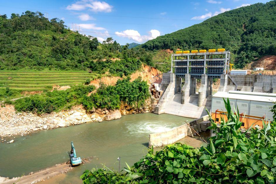
Stock photo for illustration only, not from the actual event
- Dr. Napondej pushes 7 Mae Kok water stations into automated monitoring systems
- Data must transform into evidence for declaring disaster zones and helping citizens
- Compile water, sediment, and soil databases to present to the UN
- Focus on scientific data and retroactive verification instead of estimations
Contamination issues in the Mae Kok River are viewed beyond mere water or agricultural concerns, deeply connecting soil, sediment, food, public health, the local economy, and regional food security.
Meanwhile, the Pollution Control Department continues tracking water and sediment quality in the river. Test results from 2026 still detected arsenic levels exceeding standards in certain areas, highlighting the necessity of long-term monitoring systems with continuous data rather than sporadic inspections.

Stock photo for illustration only, not from the actual event
Previously, Dr. Suebsakul Kitnukorn from the School of Social Innovation, Mae Fah Luang University, raised concerns over cross-border pollution, urging systematic state intervention, particularly regarding pollution sources originating upstream in Myanmar that require continuous scientific verification.
Upgrading water quality monitoring stations into real-time automated systems is crucial for shifting from a reactive approach to proactive environmental management. Time-series data enables government agencies to accurately track pollutant dispersion, aligning with international standards for cross-border disaster management.
Dr. Napondej's initiative requires the seven sensor stations to operate beyond mere physical installations awaiting manual data collection. All readings should stream automatically into a centralized network, tracing changes from upstream through border areas to downstream points.
"I want to see data from the 7 stations transform into a government decision-making system, not just a measurement tool, because ultimately citizens do not just want to know the arsenic levels, but what the state will do for them."
Dr. Napondej
Furthermore, data from all seven locations must be synthesized to build a pollution timeline, providing state authorities with empirical evidence to evaluate disaster zones, declare emergency relief areas, and allocate precise budgets for clean water, agricultural recovery, and health check-ups.
Regarding heavy metal sources, Dr. Napondej stated that investigations must span from upstream to downstream areas to establish links with activities across the Myanmar border. Standardized data will strengthen international negotiations and reports submitted to the United Nations (UN).
Source: Matichon Politics
Found something wrong in this article? Report an issue with this article
Comments
Leave a Comment