

UK Weather: Rain and Flash Flood Risks on 20 August 2026
Met Office extends thunderstorm warnings across the UK on 20 August 2026 as temperatures drop significantly below the seasonal August average.
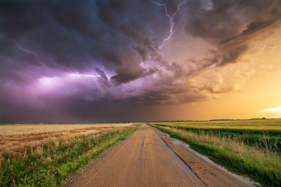
Stock photo for illustration only, not from the actual event
- Met Office extends yellow thunderstorm warnings until 13:00 BST.
- Rainfall could reach 15-20mm in an hour and up to 40mm over several hours.
- Daytime temperatures drop to a high of 13-23°C, the coolest since 29 June.
Weather conditions across the United Kingdom shifted dramatically on 20 August 2026 as low pressure took over from the prolonged summer high pressure, driving unstable air masses capable of producing severe storms, heavy downpours, and hail.
The Met Office extended its yellow thunderstorm warning for parts of northern England and north Wales until 13:00 BST on Thursday. Showers are forecast to drift southward and eastward through the day, impacting other parts of Wales, the Midlands, East Anglia, and southern England.
Stock photo for illustration only, not from the actual event
Forecasters warn that within the warning zones, 15 to 20mm of rain could fall within just a single hour, while accumulations of 30 to 40mm are possible over several hours. This creates a tangible risk of flash flooding, particularly where ground surfaces remain hardened from the extended dry spell, alongside potential hazards from lightning strikes and localized power outages.
Motoring associations have issued warnings to drivers as the wet weather creates hazardous driving conditions. RAC road safety spokesperson Rod Dennis highlighted that accumulated oil and rubber deposits mixed with light rain create dangerously greasy road surfaces.
"Oil, fuel and rubber deposits that have built up over many weeks will now have been mixed together by the light rain, instead of being washed away, which means drivers are at greater risk of skidding on greasy roads."
Rod Dennis
Despite the arrival of rain, experts caution that the ongoing drought affecting large portions of the UK will not end immediately. Replenishing depleted water reserves will require sustained precipitation, with experts noting that the true impact will likely remain unknown until late winter. While most regions experienced severe deficits, locations like Aultbea in the Scottish Highlands recorded 389.6mm of rainfall this summer, nearing local record highs.
The sudden return of precipitation following an extended drought period frequently triggers severe transport disruptions. Dry, compacted soils lack the immediate capacity to absorb heavy rainfall, while accumulated road residues create a slick film that significantly increases skidding hazards. Furthermore, the distinct earthy aroma following rainfall, known as petrichor, results from raindrops interacting with plant oils and soil-dwelling bacteria released from parched earth.
As northerly winds push across the country, temperatures are forecasted to decline sharply. Thursday afternoon highs are projected to range between 13 and 23 degrees Celsius, marking the first time since 29 June that temperatures across the UK fail to reach 25 degrees Celsius, with Friday night expected to bring exceptionally chilly single-digit lows.
Source: BBC Science & Environment
Found something wrong in this article? Report an issue with this article
Comments
Leave a Comment