

UK Weather: Yellow Warnings Issued as Storms Hit
The Met Office has issued yellow weather warnings for heavy rain and thunderstorms across parts of the UK on Wednesday and Thursday.
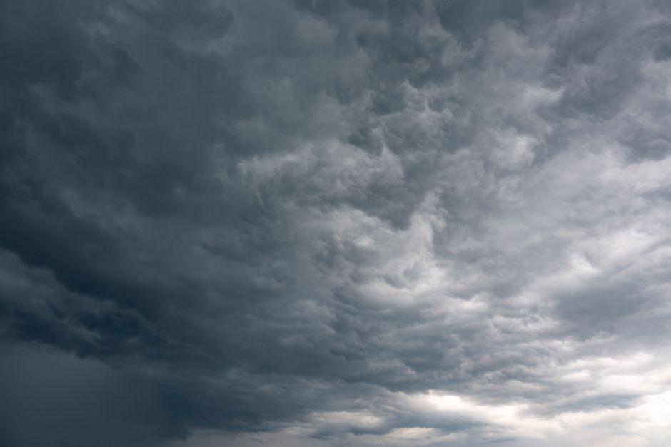
Stock photo for illustration only, not from the actual event
- The Met Office issued yellow thunderstorm warnings effective across parts of England and Wales.
- Certain locations could experience 40-50mm of rainfall within just a few hours.
- Hard and dry ground from prolonged dry spells raises the immediate risk of flash flooding.
- Weather apps may struggle to forecast localized storms due to their erratic nature.
The Met Office has issued yellow weather warnings as severe downpours and thunderstorms sweep across various regions of the United Kingdom. The warning for Wednesday remains active from 03:00 until 22:00 BST, encompassing a large portion of the Midlands, parts of northern, eastern, and southern England, as well as the far east of Wales.
The severe weather threatens to bring flash flooding and travel disruptions, accompanied by frequent lightning and large hail. A subsequent yellow warning has been put in place for Thursday as additional thunderstorms develop, potentially bringing the wettest conditions in weeks to areas that have experienced virtually no rainfall so far this August.
Ben Rich, lead weather presenter, noted that a band of showers is pushing northwards through Wednesday morning, followed by sunny spells in the south before scattered storms erupt during the afternoon.
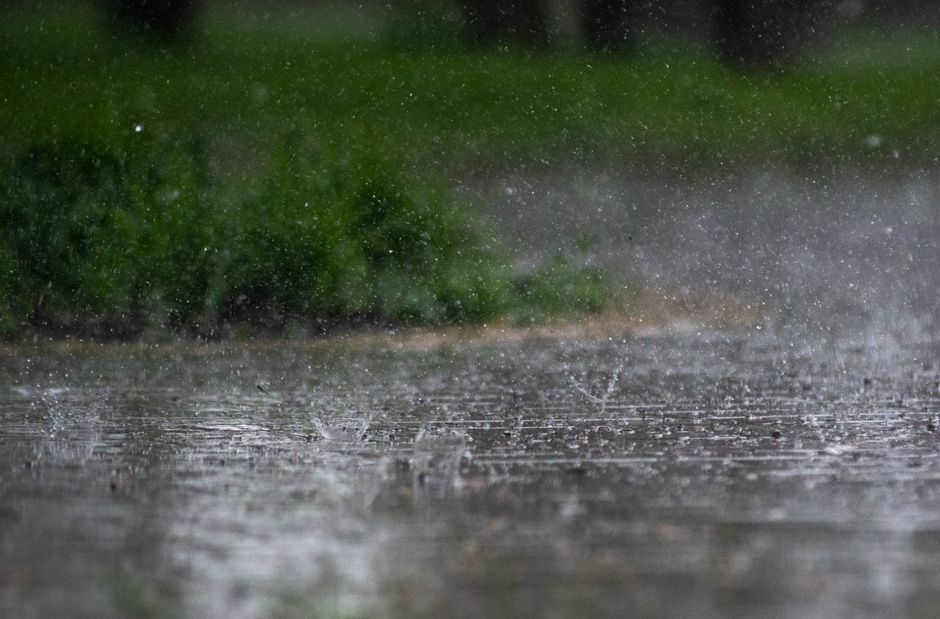
Stock photo for illustration only, not from the actual event
Rainfall amounts could reach 20-30mm within a single hour in some spots, with totals potentially accumulating to 40-50mm over a few hours. Because these showers are highly localized, certain areas may avoid the downpours entirely, presenting forecasting difficulties for standard weather applications.
Localized thunderstorms pose a persistent challenge for meteorological computer models because they are driven by warm, humid air interacting with colder air pushing in from the west aloft. This creates atmospheric instability much like heating popcorn kernels in a pan, where predicting the exact timing and location of each individual pop remains impossible.
Looking ahead to Thursday, the Met Office warning runs from 06:00 until 22:00 BST. Widespread rainfall totals of 20-30mm are anticipated within a three-hour window, while certain areas could accumulate up to 50mm. Furthermore, eastern-facing hills exposed to easterly winds face a slight chance of recording 75mm over a 12-hour duration, triggering significant flood risks.
Despite unsettled conditions earlier, parts of southern the UK remain exceptionally dry. Brize Norton in Oxfordshire has logged just 0.4mm of rain this August, representing under 1% of its usual monthly average, while Kew Gardens recorded zero rainfall throughout July and only 1.8mm this month, meaning the upcoming rainfall will vastly outstrip recent totals.
Source: BBC Science & Environment
Found something wrong in this article? Report an issue with this article
Comments
Leave a Comment