

UK Weather: Thunderstorms and Rain Expected Over Bank Holiday
RAC estimates 20 million car trips during the late August bank holiday weekend as yellow weather warnings for thunderstorms remain in place.
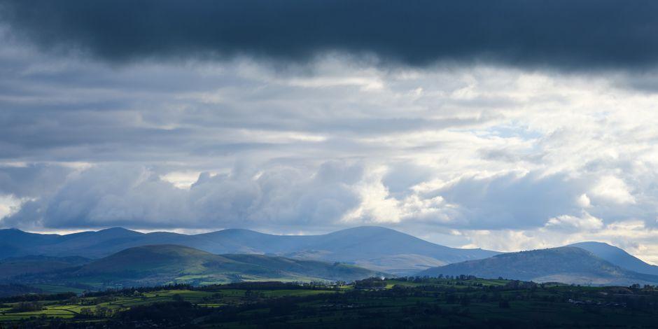
Stock photo for illustration only, not from the actual event
- Most of the UK braces for rain and thunderstorms over the bank holiday weekend.
- The RAC estimates 20 million car trips amidst challenging driving conditions.
- Temperatures drop back to seasonal averages of 16-23C after recent warm spells.
- Scotland faces the wettest conditions on Monday with sunshine elsewhere.
The upcoming bank holiday weekend across the United Kingdom is set to feature unsettled weather conditions, bringing a mix of showers, prolonged periods of rain, and potential thunderstorms. Following a prolonged spell of warm and humid weather, the Met Office has implemented yellow weather warnings for thunderstorms across parts of eastern England valid until early Friday morning.
Stav Danaos, lead weather presenter, noted that residents within the warning zones could experience frequent lightning strikes, hail, and strong gusty winds alongside heavy downpours. Other regions, particularly western Scotland, Wales, and north-west England, should anticipate steady rain and heavy showers that may spread further east as the system progresses.
Motoring organization the RAC estimates that motorists will make around 20 million car journeys throughout the long weekend, potentially leading to difficult driving conditions. Meanwhile, temperatures are expected to feel much fresher, ranging between 20C and 23C in England and Wales, and 16C to 20C in Scotland and Northern Ireland, aligning with typical late August averages.
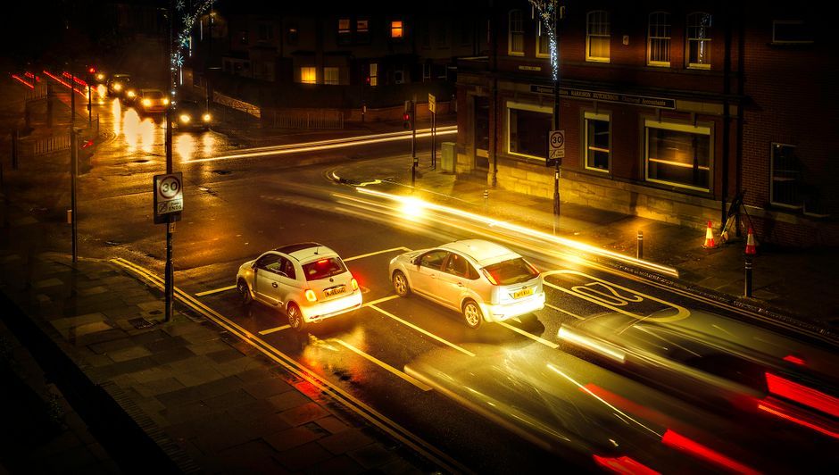
Stock photo for illustration only, not from the actual event
Saturday will maintain the unsettled pattern, featuring sunny intervals alongside heavy showers and possible thunderstorms, particularly across England and Wales. Fresh westerly winds will create a blustery feel, with high temperatures reaching 18-22C in England and Wales and slightly lower further north. Sunday and Monday will continue this changeable trend, with western rain pushing across the country.
Weather warnings during peak travel periods highlight the critical balance between public safety and infrastructure management in the UK. With millions of vehicles on the road during unsettled atmospheric conditions, accurate forecasting helps mitigate transit disruptions caused by sudden downpours and reduced visibility.
Overall, the late August bank holiday weekend is shaping up to be cooler, windier, and wetter than the exceptionally warm conditions experienced earlier in the summer season. With low pressure systems lingering near the UK, prolonged dry and hot weather is unlikely to return anytime soon, with early September forecasts pointing toward continued changeable conditions near or slightly below average temperatures.
Source: BBC Science & Environment
Found something wrong in this article? Report an issue with this article
Comments
Leave a Comment