

Eryri National Park Launches £1m Habitat Restoration
National Trust leads a nearly £1m scheme to restore over 4,000 acres in Eryri National Park amid serious ecological decline.
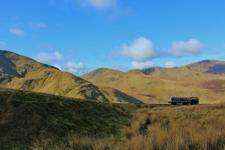
Stock photo for illustration only, not from the actual event
- National Trust leads a nearly £1m project to protect 4,040 acres of habitats.
- Nant Ffrancon valley in Eryri National Park faces severe ecological decline.
- Threatened species like the ring ouzel and rare alpine plants risk disappearing.
- Innovative GPS cattle collars are deployed to manage grazing more precisely.
The Nant Ffrancon valley within Eryri National Park, also known as Snowdonia, is confronting severe ecological decline, putting several local species at risk of vanishing entirely. Among the most vulnerable is the ring ouzel bird, for which the region serves as one of its final strongholds in Wales.
To combat this deterioration, a new conservation scheme funded by nearly £1 million is being led by the National Trust. The initiative aims to restore and safeguard 4,040 acres of habitats stretching from the high peaks of Cwm Idwal to the deep valleys of Dyffryn Ogwen in Wales.
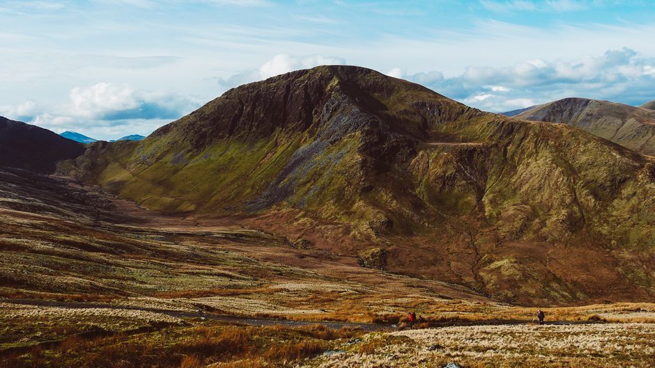
Stock photo for illustration only, not from the actual event
The conservation efforts extend beyond bird populations to fragile arctic-alpine flowers in Cwm Idwal, such as the Tufted Saxifrage, which saw its population plummet to just seven individual plants at the start of the year due to summer droughts. Additionally, the Mountain Jewels of Eryri (Tlysau Mynydd Eryri) project, partnered with Plantlife Cymru, is working to secure the future of Wales' rarest alpine plants.
Restoring high-altitude mountain ecosystems like Eryri requires balancing historical agricultural land use with modern conservation demands. Introducing targeted grazing practices helps protect fragile flora while supporting sustainable livestock management in protected national landscapes.
A core component of the project involves deploying innovative GPS-enabled livestock collars on cattle. This technology allows tenant farmers to monitor grazing patterns live via smartphone apps, ensuring that cattle are managed at the right densities and locations to benefit local biodiversity.
"The collars on the cattle allow us to move the cattle around the landscape and you can monitor it as you go, and the farmers can see that data live on their apps."
Rhys Wheldon-Roberts, Cwm Idwal Partnership Officer
Alongside farmer collaboration, the project heavily emphasizes community engagement and volunteering. Local residents and volunteers will have opportunities to participate in ecological monitoring, learn about the landscape, and track ecosystem health using indicator species such as woodcocks, otters, aspen, and juniper.
Source: BBC Science & Environment
Found something wrong in this article? Report an issue with this article
Comments
Leave a Comment