

Thai GIS User Conference 2026: Esri Unveils GeoAI for Enterprises
Esri Thailand highlights Location Intelligence and GeoAI as key drivers for enterprise decision-making at Thai GIS User Conference 2026.

Stock photo for illustration only, not from the actual event
- Location Intelligence connects all enterprise data through spatial dimensions.
- GeoAI combines artificial intelligence with real-world context for accurate forecasting.
- ArcGIS Business Analyst helps analyze regional potential and reduce investment risks.
In the digital era, global businesses and government agencies increasingly rely on spatial data to drive their operations. Famous examples include Starbucks, which strategically selects store locations worldwide, and logistics giant UPS, which utilizes data to optimize route planning. Meanwhile, Big C analyzes consumer behavior through trade areas, and local municipalities like Sikhiu leverage spatial data to care for bedridden patients and improve urban planning.
Despite having vastly different business models and objectives, these organizations share an enhanced ability to foresee opportunities and mitigate risks accurately. The secret behind their precise decision-making stems from the ability to interconnect disparate datasets using a concept known as Location Intelligence.
Almost every type of corporate data—ranging from customers and branches to assets and transit routes—contains a geographical component. By utilizing location as a shared context, organizations can uncover hidden correlations, evaluate environmental risks, and proactively plan for upcoming events with greater efficiency.
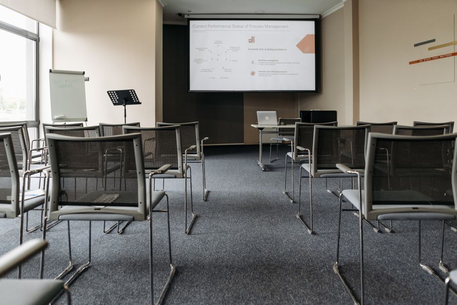
Stock photo for illustration only, not from the actual event
Location Intelligence acts as a spatial magnifying glass for raw enterprise data. Instead of reviewing sales figures and customer counts in isolation, overlaying map coordinates reveals density patterns and geographically bound behaviors, explaining why retail giants expand locations with such high precision.
To address modern complexities, Esri Thailand has positioned the ArcGIS platform as a Strategic Location Intelligence Platform. It serves as a centralized hub connecting enterprise systems, field data, and IoT devices, transforming scattered information into a unified operational view.
However, as artificial intelligence becomes pervasive, AI requires real-world context to handle complex decision-making processes. This gave rise to GeoAI (Geospatial AI), showcased at the Thai GIS User Conference 2026 (TUC 2026), featuring three core capabilities:
- Advanced spatial analysis utilizing satellite imagery, drones, and sensors to forecast trends and assess risks proactively.
- AI Assistants enabling users to search, analyze, and generate reports using natural language without specialized GIS expertise.
- Agentic AI connecting multiple data sources, analyzing relationships, and automating operational workflows.
"Effective decision-making requires more than knowing what happened; it requires understanding why it happened in that specific location."
Esri Thailand
These technologies deliver tangible business outcomes, particularly through ArcGIS Business Analyst. By integrating demographic data, purchasing power, and competitor insights into real-world geography, enterprises can identify high-potential areas, evaluate market gaps, and simulate future expansion outcomes while minimizing investment risks.
Source: Techsauce
Found something wrong in this article? Report an issue with this article
Comments
Leave a Comment