

Decoding Thailand's Andaman Gateway: Ranong vs. Pak Bara Port
An in-depth analysis of Thailand's Andaman port strategy, exploring whether success relies on geography or logistics.
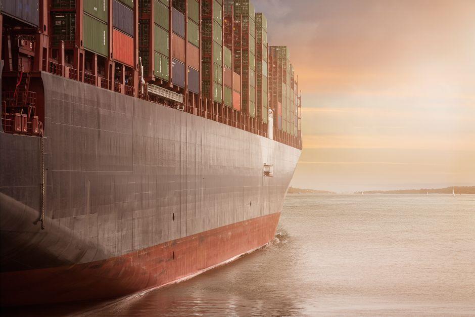
Stock photo for illustration only, not from the actual event
- Thailand features over 1,100 kilometers of Andaman coastline, yet its international trade role remains underutilized.
- Pak Bara benefits from its close proximity to the Malacca Strait and deep-water capacity.
- Ranong excels in border trade connectivity with Myanmar and the Bay of Bengal region.
- Port success depends heavily on cargo volume, competitive costs, and robust logistics networks rather than location alone.
When discussing the development of Thailand's maritime trade gateway on the Andaman side, the crucial question may not be which province holds the upper hand, but rather what specific operational roles these ports are expected to serve within the broader economic framework.
Thailand possesses an Andaman coastline stretching more than 1,100 kilometers long. Despite this geographic asset, its international trade contribution remains far below its actual potential. Pushing forward with an Andaman-side port is therefore deemed a necessity to open a direct gateway to the Indian Ocean, facilitating smoother trade connections with India, the Middle East, Africa, and Europe.
Furthermore, establishing a western port helps diversify logistical risks away from an over-reliance on Gulf of Thailand routes and infrastructure. Should any unexpected incidents disrupt traditional shipping lanes, the country retains alternative options for cargo transportation.
From a macroeconomic perspective, multi-billion-dollar infrastructure investments like deep-water ports cannot rely solely on coastal depth or land area. They require a comprehensive supply chain overview—ranging from manufacturing hubs and industrial estates to connecting rail and road networks—ensuring a multimodal transport ecosystem that guarantees sustainable vessel traffic post-completion.
Nevertheless, merely constructing a physical port does not automatically transform a location into a regional logistics hub. The absolute prerequisite is a steady, reliable source of cargo and consistent vessel traffic. Port success is measured strictly by throughput volume and active utilization rates, not by the physical scale of the engineering project.
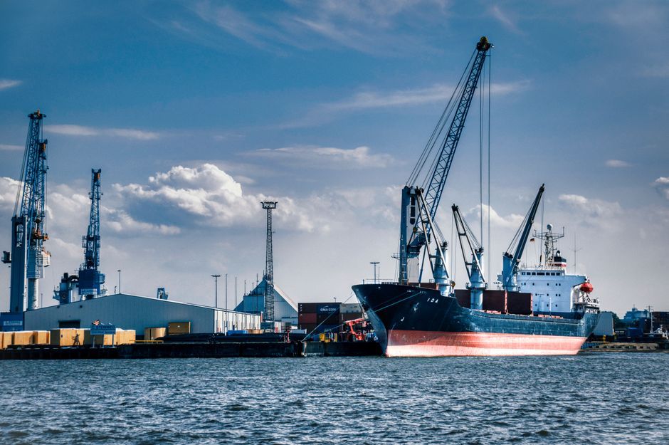
Stock photo for illustration only, not from the actual event
Core cargo must be fed from domestic regions across Thailand as well as neighboring countries connected via road and rail networks, such as Myanmar, and potentially Laos or southern China. Meanwhile, international shipping lines will only commit to calling at a port if cargo volumes are sufficiently high, operational costs are competitive, transit times are short, and domestic logistical integration is seamless.
Examining the distinct advantages of each candidate:
- Pak Bara: Holds a geographical edge due to its proximity to the Malacca Strait, one of the world's busiest shipping lanes. Vessels traveling between Asia and Europe, the Middle East, or Africa can divert to the port with minimal detours, while offering strong capacity for large vessels.
- Ranong: Situated further away from the Malacca Strait—akin to a secondary maritime alley—it may not lure major global container lines, yet it possesses robust potential for bilateral trade integration with Myanmar and the wider Bay of Bengal.
Global precedents such as Singapore demonstrate that status as a transit hub stems from integrated logistics ecosystems—including free-trade zones, bonded warehouses, and rail systems—rather than location alone. Similarly, Malaysia's Port Klang and Port Penang thrive side by side by aligning their operations with their respective regional economic baselines.
Source: Matichon Politics
Found something wrong in this article? Report an issue with this article
Comments
Leave a Comment