

Storm Austen 2026: First UK Autumn Storm Brings 70mph Gales
Met Office issues a yellow weather warning as Storm Austen approaches the UK on Thursday night, bringing heavy rain and 70mph wind gusts.

Stock photo for illustration only, not from the actual event
- Storm Austen is the first named autumn storm heading towards the United Kingdom.
- The Met Office issued a yellow severe weather warning starting Friday midnight.
- Wind gusts could reach up to 70mph, risking building damage and transport delays.
- A secondary low-pressure system will hit Scotland on Saturday with 70-80mph gusts.
The United Kingdom is bracing for severe weather disruptions as the Met Office prepares for the arrival of Storm Austen, the very first named storm of the autumn season. The rapidly deepening low-pressure system is approaching from the Atlantic, set to bring widespread heavy rainfall and intense gales across parts of the country beginning late Thursday night.
Ahead of the incoming severe weather, the Met Office has issued a yellow severe weather warning for wind. The advisory officially comes into force at midnight on Friday and will remain active until 12:00 BST, focusing heavily on south Wales, south-west England, and the southern coastal counties of England.
Forecasters warn that wind gusts could peak at 70mph in the worst-hit zones, which is likely to cause structural damage to buildings, significant travel disruptions, and potential power outages. Meanwhile, broader regions across west Wales and southern England will experience sustained gusts ranging between 50 and 60mph throughout Friday.
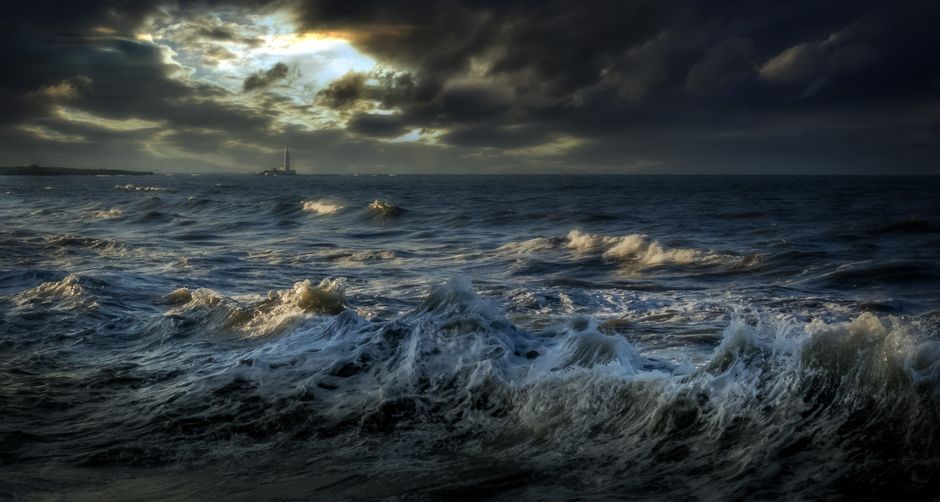
Stock photo for illustration only, not from the actual event
Although Storm Austen is expected to clear away eastward into the North Sea later on Friday morning, blustery conditions and intermittent heavy rain will persist across England and Wales for the remainder of the day. Scotland and Northern Ireland are forecasted to largely escape the direct impacts brought by this particular system.
The naming of autumn and winter storms by meteorological agencies plays a crucial role in public safety communications. By giving distinct names to severe low-pressure systems, meteorological services like the UK's Met Office ensure that warnings are easily recognized, shared, and taken seriously by communities in the path of destruction.
Following a brief quiet spell with clear skies heading into Saturday, another separate low-pressure system is projected to approach Scotland. While deemed not severe enough to warrant a formal storm name, this system will drive 70-80mph gusts across western Scotland, triggering bridge restrictions and ferry cancellations before conditions gradually dry out by Sunday.
Source: BBC Science & Environment
Found something wrong in this article? Report an issue with this article
Comments
Leave a Comment