

Two back-to-back storms Austen and Boelo hit the UK
The Met Office issues weather warnings as storms Austen and Boelo strike the UK over the weekend with winds reaching 80mph.

Stock photo for illustration only, not from the actual event
- The Met Office has named two upcoming storms, Austen and Boelo.
- Storm Austen brings 60-70mph winds to south-west England on Friday.
- Storm Boelo follows closely with severe weather across the UK on Saturday.
- Authorities warn of travel disruptions, power cuts, and localized flooding.
The United Kingdom is bracing for severe disruptions as the Met Office named a brand-new storm, Boelo, which is set to unleash another round of turbulent weather across the country over the weekend. The incoming system follows closely on the heels of Storm Austen, the very first named storm of the current season.
Storm Austen is projected to sweep across south-west England during Friday morning, prompting meteorological authorities to issue amber and yellow wind warnings. The severe weather alerts cover Cornwall, the Isles of Scilly, Plymouth, and parts of Devon, remaining active between 1am and 10am on Friday.
Wind gusts are widely expected to reach 60-70mph, with extreme peaks hitting 80mph in exposed coastal and elevated locations. Such velocities carry a significant risk of uprooting trees, triggering transportation bottlenecks, and causing potential power outages across local communities. Furthermore, flying debris whipped up by the gales could cause structural damage to buildings during the height of the storm.
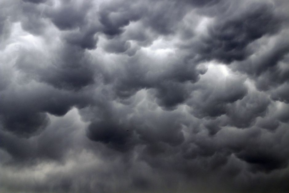
Stock photo for illustration only, not from the actual event
Yellow wind warnings simultaneously blanket large portions of England and Wales, where Friday gusts are forecast to range between 45-60mph, alongside isolated 70mph peaks. Meanwhile, north-west France lies directly in the firing line south of the low-pressure center, with Brittany bracing for gales nearing 90mph. The Channel Islands expect severe gales up to 80mph, resulting in preliminary cancellations of scheduled ferry services.
Heavy precipitation in Scotland presents additional hazards, with a yellow warning for 20-40mm of rainfall and localized accumulations potentially peaking at 80mm throughout Friday.
The rapid succession of powerful windstorms heading toward the UK is typically driven by a robust Atlantic jet stream. This meteorological mechanism relies on transporting warmer air northward and colder air southward across vast oceanic expanses. The resulting thermal contrasts cultivate an ideal environment for low-pressure systems to intensify rapidly beneath the upper-level jet stream, giving birth to destructive named storms during the autumn and winter transition.
As Storm Austen clears, Storm Boelo will sweep across the entirety of the UK on Saturday, creating hazardous driving conditions from surface water and spray on major motorways. The core of the strongest winds will shift toward Scotland by Saturday afternoon, peaking overnight.
The Met Office has extended yellow wind warnings covering Scotland, Northern Ireland, and northern England throughout Saturday and Sunday. Forecasts indicate widespread gusts of 50-65mph, touching 80mph in exposed spots, which threaten further travel delays and localized flooding following recent wet spells.
Source: BBC Science & Environment
Found something wrong in this article? Report an issue with this article
Comments
Leave a Comment