

Storm Boelo clears as fresh wind and rain target the UK
The Met Office has issued a yellow wind warning for Tuesday as a deep low-pressure system approaches the UK following Storm Boelo.

Stock photo for illustration only, not from the actual event
- Storm Boelo has cleared the UK, but another deep low-pressure system is approaching from the Atlantic.
- The Met Office has issued a yellow wind warning covering large parts of Scotland and northern regions for Tuesday.
- Widespread gusts are expected to reach 50-60mph, with speeds exceeding 70mph in exposed coastal areas.
- Conditions are expected to gradually settle from midweek onwards as high pressure builds near the country.
Following a weekend of heavy downpours and severe gales, Storm Boelo has moved away from the UK, allowing conditions to turn calmer. However, this respite will be short-lived as another deep area of low pressure is already advancing from the Atlantic.
As this system tracks to the north-west of the country on Monday and Tuesday, it will bring a fresh wave of rain and gales. The Met Office has issued a yellow wind warning for much of Scotland, parts of northern England, and Northern Ireland for Tuesday.
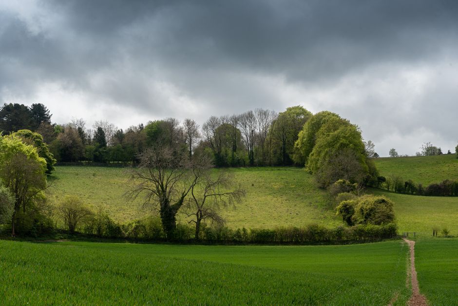
Stock photo for illustration only, not from the actual event
This incoming weather system is not expected to be as widely disruptive as Storm Boelo or the preceding Storm Austen, and has not yet been named. The next designation on the list for the 2026/2027 season is Chloe. Monday morning will see rain spread across south-west England, Wales, and Northern Ireland before pushing quickly north-eastward toward central, eastern, and northern England, as well as most of Scotland by lunchtime.
The rapid succession of low-pressure systems hitting the UK highlights the active atmospheric patterns typical of the transition seasons. When successive storms arrive while soils are already saturated from prior heavy rainfall, the cumulative risk of localized flooding and structural damage increases, even if individual systems carry lower peak wind speeds than major named storms.
On Tuesday, a yellow Met Office warning will cover almost the entirety of Scotland—excluding Shetland—extending into the north coast of Northern Ireland and the far north of northern England. Widespread gusts of 50-60mph are anticipated, with the potential for speeds to surpass 70mph around exposed coastal locations. The warning highlights potential impacts including travel disruptions, power cuts, and flying debris.
Looking ahead, high pressure is set to build close to the UK from midweek onward, leading to a gradual calming of the weather. While some showers may linger on Wednesday, conditions are forecast to dry out by Thursday, with computer models pointing toward a calmer and drier spell extending through the weekend and into the following week.
Source: BBC Science & Environment
Found something wrong in this article? Report an issue with this article
Comments
Leave a Comment