

Himalayan Building Boom Puts 300,000 at Disaster Risk
Study reveals built-up land in high-risk Himalayan zones surged by 45% between 2016 and 2023, placing over 300,000 people in peril.

Stock photo for illustration only, not from the actual event
- Built-up land in high-risk Himalayan zones grew by about 45% between 2016 and 2023.
- Development near glacial lakes increased even faster, rising by nearly 78% over the same period.
- At least 300,000 people across Nepal, Tibet, and India now live in the path of potential disasters.
- Experts warn that building regulations along riverbanks remain weak and poorly enforced.
An explosive surge in tourism, housing, and infrastructure development across the Himalayan region is placing hundreds of thousands of lives directly in harm's way. A new scientific study indicates that at least 300,000 residents in northern Nepal, parts of southeastern Tibet, and India's Uttarakhand region are currently living in the path of potential natural disasters.
Researchers discovered that the amount of built-up land inside high-risk zones expanded by roughly 45% between 2016 and 2023. In areas facing severe threats from glacial lake outburst floods, development accelerated at an even staggering rate, climbing by nearly 78% throughout the same timeframe, according to the peer-reviewed study published in Scientific Reports.
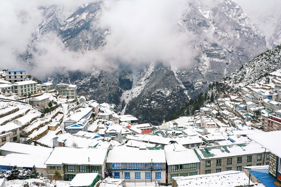
Stock photo for illustration only, not from the actual event
The scientific team behind the findings cautioned that the actual number of people under threat is likely much higher, as their analysis focused strictly on a designated territory rather than neighboring regions facing identical vulnerabilities. The study was conducted prior to August's catastrophic mass floods that claimed over 1,400 lives and left thousands missing in Nepal. Several smaller incidents have followed, including an October 11 flood along the Budhi Gandaki river that damaged 200 houses, washed away five bridges, and left five individuals missing.
A collaborative team of nine researchers from the UK, Nepal, and India examined areas stretching up to 50 kilometers downstream from Himalayan rivers, alongside approximately 1,360 glacial lakes. They uncovered extensive development, including hospitality expansions and real estate projects, most notably in Pokhara—a major tourist hub at the foothills of the Himalayas that has expanded rapidly over the past thirty years.
"Where we move them, and how we do that, is the real challenge."
Dhana Raj Acharya, Mayor of Pokhara
Dhana Raj Acharya, the mayor of Pokhara, noted that managing flood risks from the Seti Gandaki River—which originates from the Annapurna range and cuts straight through the urban center—presents a massive hurdle. Many aging structures sit merely 5 meters away from riverbanks, defying updated municipal setbacks designed to keep constructions at a safer distance.
This escalating crisis highlights the deep friction between rapid economic development driven by tourism and the compounding impacts of climate change. With temperatures in the Himalayas rising at twice the global average, glacial melt has accelerated, expanding glacial lakes to dangerous thresholds. Permitting dense construction along fragile river corridors without strict enforcement of zoning laws not only degrades local ecosystems but saddles vulnerable, developing nations with enormous recovery costs.
Tourism is not the sole driver, as regions surrounding the Bhotekoshi and Trishuli rivers have also experienced a surge in hydropower plant construction. Furthermore, the true scale of endangered structures may exceed the researchers' baseline criteria, which categorized buildings at risk as those located within 50 vertical meters of a water body. During the devastating August floods, locals in the Rasuwa district reported river levels surging by up to 70 meters in certain sections, submerging and burying buildings situated relatively far from initial banks.
Source: BBC Science & Environment
Found something wrong in this article? Report an issue with this article
Comments
Leave a Comment