

Earliest Polar Vortex Weakening May Bring UK Snow
The polar vortex has weakened and shifted unusually early in November, potentially bringing colder weather and snow to the United Kingdom.

Stock photo for illustration only, not from the actual event
- The Arctic polar vortex has weakened and shifted position unusually early this November.
- This disruption is unprecedented in modern observational records with few historical matches.
- The shift could alter the jet stream, driving Arctic air and snow toward the UK.
- Scientists note that strong El Niño conditions might be linked, though research is ongoing.
High above the Arctic, the powerful winds that typically circle the North Pole each winter to trap the Earth's coldest air have experienced an unprecedented disruption. Known as the polar vortex, this circulation has weakened and shifted position in recent days. Scientists report that an event occurring this early in November is entirely unprecedented in modern observations, leaving current winter forecasts shrouded in uncertainty due to a severe lack of historical examples for comparison.
The polar vortex forms every autumn as temperatures plummet in the Arctic, establishing strong westerly winds in the stratosphere roughly 10 to 30 miles (15-50 km) above the Earth's surface. Atmospheric disturbances can trigger warming in the upper air, weakening the vortex winds. This sudden stratospheric warming (SSW) can eventually reverse the strong westerlies into easterly winds, altering weather patterns globally.

Stock photo for illustration only, not from the actual event
In the days and weeks following such changes, the position of the jet stream can shift, elevating the chance of a blocked weather pattern characterized by drier conditions and cold northerly or eastern winds drawing in Arctic air. It also boosts the likelihood of snow, especially across the eastern UK. While most SSW events occur from mid-winter onward, meteorologists are currently witnessing a dramatic wind weakening, with forecasts pointing toward a potential vortex wind reversal by mid-November.
Due to this weakening, the vortex has stretched and briefly split into two smaller circulations around the Arctic. If the winds continue to weaken and reverse as predicted, it will be classified as a major SSW event. The previous earliest major SSW events occurred on November 28 in both 1969 and 2025. While the exact trigger for such an early event remains unclear, it may stem from natural weather variability or the influence of an exceptionally strong El Niño pattern.
The phenomenon of polar vortex disruption serves as a critical reminder of how complex stratospheric-tropospheric coupling can be. Because the Arctic has not yet reached its deepest mid-winter chill, the downstream impacts on surface weather over Europe and the UK remain highly conditional. Early disruptions challenge standard seasonal forecasting models, as the typical atmospheric momentum seen in January or February is not yet fully established.
Long-range forecasts from the Met Office indicate a stormy start to winter for the UK, followed by a colder conclusion, aligning with typical El Niño expectations. However, this unusually early SSW event took meteorologists by surprise. Professor Andrew Perez-Charlton, a meteorologist at the University of Reading, noted that the typical response to an SSW involves colder and drier conditions over Europe and the UK.
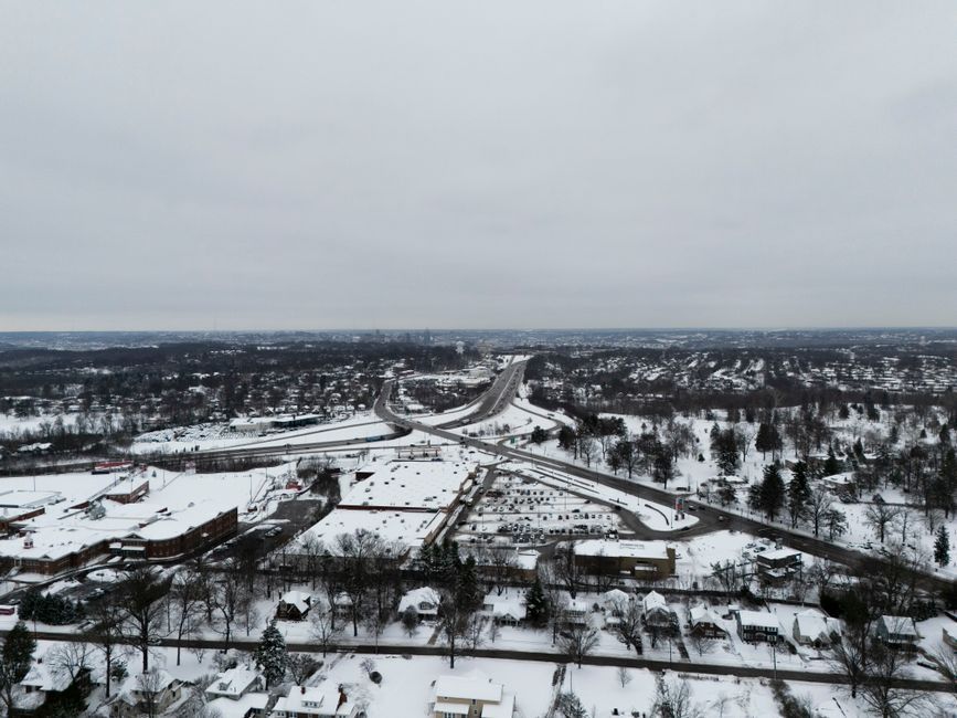
Stock photo for illustration only, not from the actual event
"The typical response to a SSW is for colder and drier conditions over Europe and the UK."
Professor Andrew Perez-Charlton, University of Reading
Professor Perez-Charlton also emphasized that a drier weather pattern and a lack of rain could pose concerns for regions still recovering from drought, highlighting that experts agree it remains too early to definitively gauge the full winter outlook.
Source: BBC Science & Environment
Found something wrong in this article? Report an issue with this article
Comments
Leave a Comment