

Europe's free satellite service just made it easier to track wildfires
Copernicus Browser introduces new wildfire visualization tools amid a record-breaking wildfire season.

Stock photo for illustration only, not from the actual event
- Copernicus Browser rolls out dedicated wildfire visualization features
- Launch coincides with a historic and severe wildfire season
- Tool is designed to simplify tracking and assessing wildfire emergencies
- Service remains freely accessible to the public and researchers
Europe's open satellite observation ecosystem has upgraded its emergency response capabilities, as the Copernicus Browser introduces a specialized tool aimed at streamlining how smoke plumes and active flames are monitored.
This strategic rollout arrives while the continent grapples with extensive blazes, as current data confirms that the ongoing wildfire season has escalated to record-breaking levels of severity, placing immense pressure on emergency responders and land management agencies.
Providing free browser-based access to high-resolution satellite imagery democratizes critical geospatial intelligence. It empowers local communities and independent analysts to monitor disaster zones and evaluate environmental risks in real time without requiring specialized proprietary software.
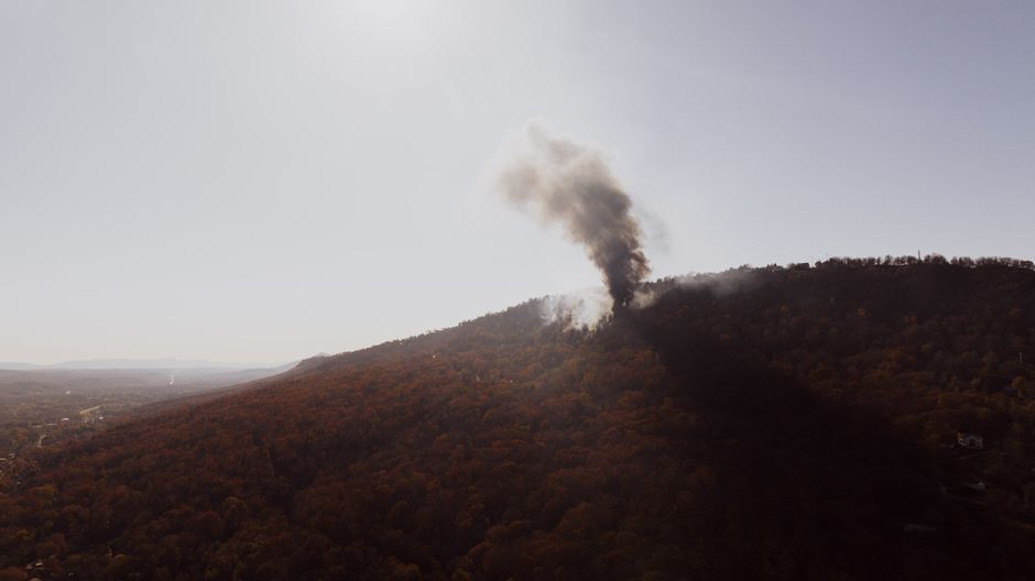
Stock photo for illustration only, not from the actual event
General users and analysts alike can leverage the updated interface to examine thermal anomalies, smoke dispersion patterns, and burn scars directly through standard web browsers, bridging the gap between raw orbital data and actionable crisis awareness.
Source: Ars Technica
Found something wrong in this article? Report an issue with this article
Comments
Leave a Comment