

Suchart Deploys 2 Copters and 6 Flights to Ban Huai Pud
Thailand's Ministry of Natural Resources and Environment deployed 2 helicopters for 6 flights to remote Ban Huai Pud in Pua district, Nan, delivering royally bestowed bags and relief supplies on Aug 22, 2026.
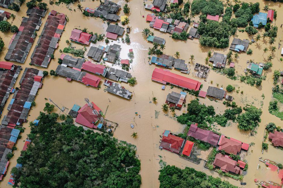
Stock photo for illustration only, not from the actual event
- Minister Suchart deployed 2 helicopters for 6 flights to aid flood-hit residents
- The mission targeted remote Ban Huai Pud in Phu Kha subdistrict, Pua district, Nan
- Supplies included royal bags, Phetkasem Foundation relief kits, rice, and dry food
- GISTDA spatial data was utilized to analyze and locate stranded communities
On August 22, 2026, Mr. Suchart Chomklin, Minister of Natural Resources and Environment, reported on ongoing flood relief operations in Nan province, emphasizing that the ministry is fully committed to helping citizens, particularly those in remote areas where land routes remain impassable.
The minister stressed a core operational principle that no matter how distant a location might be, authorities must reach it because residents are suffering and awaiting urgent assistance.

Stock photo for illustration only, not from the actual event
During the morning of August 22, the ministry mobilized two helicopters to carry out a total of six flights heading to Ban Huai Pud, Phu Kha subdistrict, Pua district, Nan province, delivering essential items to residents who remain cut off by the floods.
The delivered supplies included royally bestowed bags, relief packages from the Phetkasem Foundation, rice, and dry rations to ease immediate hardship and provide necessary sustenance while travel conditions remain restricted.
"Our mission at the Ministry of Natural Resources and Environment right now is not measured by whether an area is near or far, but by whether there are people suffering and waiting for help. If land routes cannot get through, we must use helicopters."
Suchart Chomklin
AI Insight: Deploying air support to isolated settlements like Ban Huai Pud highlights the severe logistical challenges during mountainous flash floods and landslides in northern provinces like Nan. Integrating geospatial data from GISTDA allows agencies to pinpoint isolated clusters of residents accurately, optimizing rescue paths and minimizing ground personnel risks in unstable terrain.
Mr. Suchart added that the ministry will continue monitoring conditions closely and coordinate subordinate agencies to sustain relief efforts until the situation normalizes, followed by rehabilitation plans to help residents resume normal lives quickly.
Source: Khaosod Politics
Found something wrong in this article? Report an issue with this article
Comments
Leave a Comment