

Tracing Nepal-Tibet Flood: BBC Verify Investigates
BBC Verify traces the deadly flash flood path on the Nepal-Tibet border using verified videos and satellite imagery after towns and bridges were destroyed.
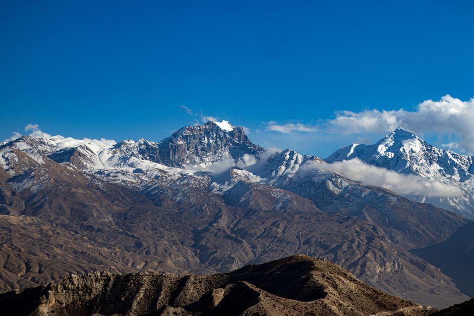
Stock photo for illustration only, not from the actual event
- Flash floods have devastated the border region between Nepal and Tibet
- Towns and bridges have been completely destroyed and swept away
- Hundreds of people have been reported dead and many more missing
- BBC Verify tracked the flood path using satellite imagery and videos
Catastrophic flash floods have struck the border region between Nepal and Tibet, leaving a trail of severe destruction in their wake. Raging torrents of water have demolished towns and swept away critical infrastructure including bridges, severely disrupting local communities.
In the aftermath of the disaster, authorities have received reports of hundreds of fatalities, alongside hundreds of additional individuals who remain unaccounted for as rescue and recovery operations unfold in the affected areas.
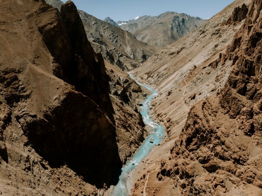
Stock photo for illustration only, not from the actual event
In response to the crisis, BBC Verify has undertaken an investigation to trace the deadly path of the flash flood. The team utilized verified video footage and detailed satellite imagery to map out how the disaster unfolded across the landscape.
Flash floods are notoriously destructive because they occur with little to no warning, driven by intense rainfall or glacial lake outburst floods in mountainous terrains like the Himalayas. The application of satellite imagery and digital verification in modern journalism plays a crucial role not only in documenting disasters but also in understanding geographical vulnerabilities and improving early warning systems for vulnerable highland communities.
The reporting was presented by Merlyn Thomas, produced by Aisha Sembhi, with graphics by Mesut Ersoz. The verification process was conducted by Emma Pengelly, Paul Brown, Charlotte Green, Shayan Sardarizadeh, Yi Ma, and Benedict Garman.
Source: BBC World
Found something wrong in this article? Report an issue with this article
Comments
Leave a Comment