

Developing El Niño becomes strongest on record
Pacific sea surface temperatures shatter 2015 records ahead of its seasonal peak, driving extreme weather and wildfires globally.
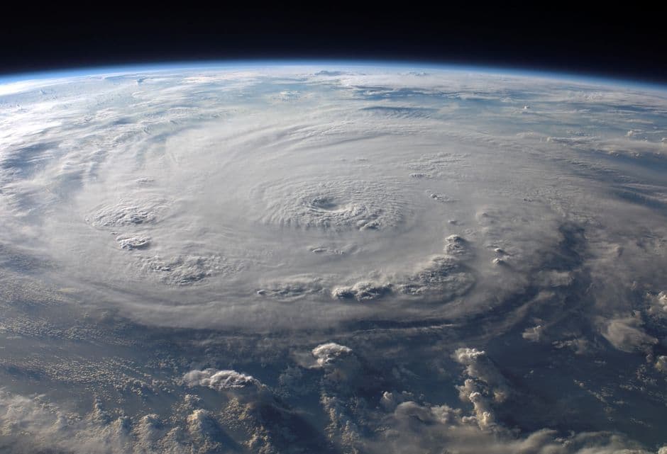
Stock photo for illustration only, not from the actual event
- Daily sea surface temperatures in the central-eastern Pacific hit 3.05°C above average on 19 September
- The current El Niño breaks the previous 2015 record before reaching its anticipated peak
- Indonesia health ministry reports wildfires affected around 12.5 million people
- India Meteorological Department notes southwest monsoon rainfall dropped 15% below normal
Scientists monitoring Pacific Ocean temperatures have announced that the developing El Niño climate phenomenon has officially become the strongest on record. Daily sea surface temperatures in a critical region of the central-eastern Pacific reached 3.05 degrees Celsius above average on 19 September, surpassing the previous record of 3.02 degrees Celsius set during the exceptionally strong El Niño event in 2015.
Although certain longer-term metrics of El Niño have not yet reached record thresholds, that trajectory is expected to shift as the phenomenon's peak is not anticipated until later this year. El Niño is a naturally occurring cycle recurring every two to seven years and lasting roughly a year, where trade winds typically blowing east-to-west weaken or reverse, allowing warm water to spread eastward and release heat into the atmosphere to alter global weather.
Professor Adam Scaife, Head of Long Range Prediction at the Met Office, emphasized the sheer magnitude of the ongoing event by stating:
"We have been signalling for months that the developing El Niño will be an unprecedented event. The fact that it has already exceeded previous records – with several weeks to go before it peaks later this year – shows the enormity of this El Niño."
Professor Adam Scaife
While every El Niño behaves differently and record-shattering strength does not automatically guarantee proportional weather impacts, expected disruptions are already being observed worldwide. Elevated risks of storms and flooding accompany heightened threats of drought and wildfires across vulnerable regions, with Indonesia's health ministry noting that El Niño-fuelled wildfires have already impacted roughly 12.5 million people across the country.
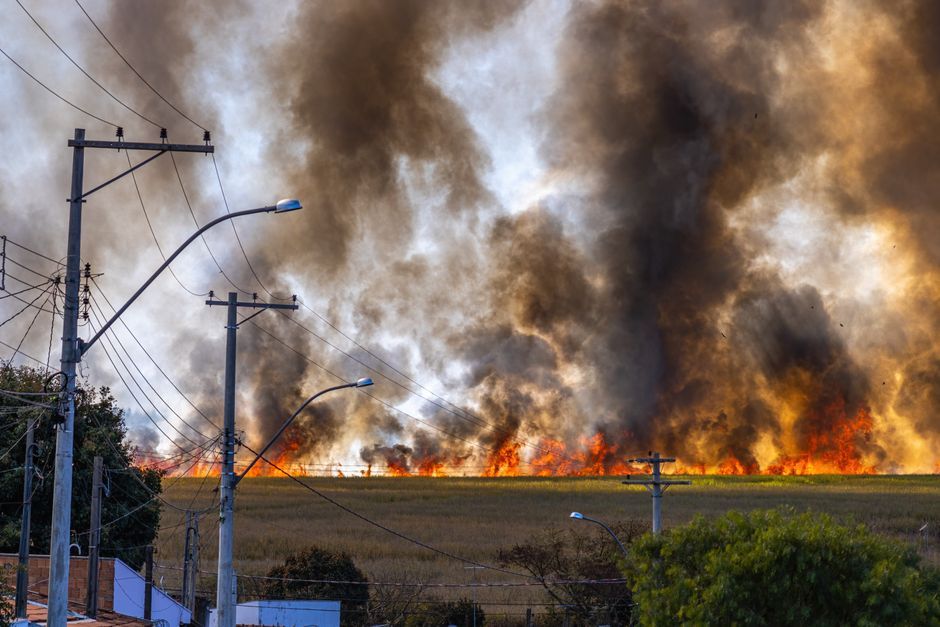
Stock photo for illustration only, not from the actual event
El Niño is characterized by the warming of ocean surface waters in the central and eastern tropical Pacific, triggering atmospheric teleconnections that disrupt global climate patterns. The early breach of temperature records months ahead of the seasonal peak underscores severe agricultural and hydrological challenges ahead, as altered rainfall distributions frequently threaten global food security and economic stability.
Furthermore, statistics released by the India Meteorological Department indicate that the southwest monsoon brought 15% less rain than normal through 22 September, matching typical El Niño correlations. In contrast, Atlantic hurricane activity has stalled with no recorded formations so far in 2026. Meanwhile, the UK Met Office notes an increased probability of wet and stormy weather across north-west Europe moving into late autumn and early winter.
Source: BBC Science & Environment
Found something wrong in this article? Report an issue with this article
Comments
Leave a Comment