

UK Weather: Late September Warmth Before Rain and Wind
BBC Weather lead presenter Helen Willetts reports Atlantic low pressure bringing warm south winds and up to 26C before wet weather returns.
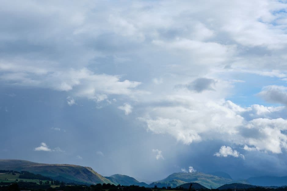
Stock photo for illustration only, not from the actual event
- A vast Atlantic low-pressure system is drawing warm south to south-easterly winds across the UK.
- Tuesday is forecasted to be the warmest day with temperatures hitting 20C to 26C in England and Wales.
- Scotland, Northern Ireland, and western UK regions face the heaviest wind and rain.
- High pressure is expected to build by Thursday and Friday, bringing calmer and drier conditions.
Weather conditions across the United Kingdom are set for a notable shift as a massive area of low pressure situated over the Atlantic draws warm southerly and south-easterly air currents across the nation, pushing temperatures upward before a wave of wet and windy weather arrives.
Helen Willetts, lead weather presenter at the BBC Weather Centre, noted that Tuesday is expected to deliver the warmest temperatures of the week, after which readings will gradually return closer to the seasonal average for September. The upcoming unsettled conditions driven by the approaching depression will primarily impact Scotland, Northern Ireland, and the western sectors of England and Wales.
Conversely, many central, southern, and eastern territories of England that have been struggling with ongoing drought conditions are anticipated to receive significantly less rainfall from this approaching weather front, highlighting a sharp regional divide.
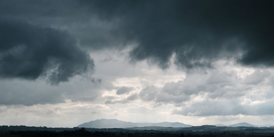
Stock photo for illustration only, not from the actual event
Following the autumn equinox last week, longer nights mean that Monday morning will begin on a notably chilly note, potentially accompanied by patchy fog during early commutes. Once the morning mist clears, a brighter day with sunny spells and isolated showers is expected for many regions, while south-east England may catch some afternoon and evening rain.
By Tuesday, intensifying southerly winds will drive up temperatures significantly, with high teens expected in Scotland and Northern Ireland, and readings climbing between 20C and 26C across England and Wales. Rain is expected to push into Northern Ireland during the afternoon before tracking eastward overnight.
The transition from late summer warmth to autumn instability is heavily influenced by the jet stream and Atlantic depressions interacting with post-equinox cooling. The stark contrast between water-logged western regions and dry eastern parts of the UK underscores how topography and prevailing air masses dictate local microclimates during seasonal shifts.
This September has followed the UK's record-hottest summer by delivering extreme contrasts. While locations such as Kirkwall and Prestwick have already recorded nearly one-and-a-half times their average September rainfall, Achnagart in the Highlands has seen rain every single day for the past 27 days. Research indicates that drought-affected regions across England would require at least seven months of persistent rainfall to fully overcome current dry conditions.
Source: BBC Science & Environment
Found something wrong in this article? Report an issue with this article
Comments
Leave a Comment