

Cairngorms drones hunt hidden underground fires months later
Drone pilot Pete Short uses thermal imaging to detect lingering underground fires in Scotland's Cairngorms National Park following a massive 33 sq km wildfire.

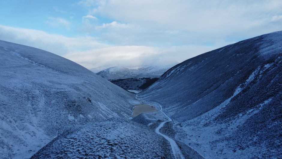
Stock photo for illustration only, not from the actual event
- Thermal drones are deployed to hunt hidden underground fires in Cairngorms National Park.
- A massive July wildfire previously devastated roughly 33 square kilometers of land.
- Lingering underground heat poses a continuous risk of reigniting larger blazes.
- Advanced drone mapping is now being utilized to monitor long-term ecological recovery.
At 06:00 in Scotland's Cairngorms National Park, drone pilot Pete Short is preparing for a dawn patrol. It is a routine he has maintained for nearly three months, ever since a massive wildfire tore through the region back in July.
The towering flames that once swept across the hillsides are entirely gone. Standing at the site today, little on the surface suggests that a fire is still burning anywhere nearby.
After navigating a bumpy drive into the charred woodland, Pete launches a thermal-imaging drone into the morning sky. My designated role is keeping a constant visual on the aircraft while he analyzes the thermal data streaming back to his screen.
"We might have something here," Pete notes, pointing to a white glow appearing on the thermal feed beneath a tree, revealing that subterranean heat persists months after the initial disaster.
Stock photo for illustration only, not from the actual event
"Without the thermal technology we would be totally blind to this."
Pete Short
Reaching the drone's coordinates reveals almost nothing to the naked eye at first glance. However, the soil feels warm to the touch, and a rock picked up from the ground radiates heat as well. Scraping away a thin layer of earth immediately unleashes rising smoke.
Subterranean peat or root fires are notorious for smoldering long after surface flames are extinguished because restricted oxygen supplies slow down combustion. Thermal drone technology serves as an indispensable tool for locating these invisible hotspots that would otherwise remain undetected.
According to the Cairngorms National Park Authority, the wildfire ignited in mid-July, scorching approximately 3,300 hectares or 33 square kilometers of landscape. At the height of the emergency, five experienced drone pilots coordinated aerial reconnaissance to assist firefighting agencies operating amid challenging conditions of multiple flame fronts and heavy equipment.
Every detected hotspot is immediately reported to land managers, who dispatch ground teams equipped with water to dig into the soil and douse the embers. Ben Jones, senior site manager for the RSPB at Abernethy, emphasizes that pinpointing exact locations ensures maximum efficiency, especially since each hotspot carries the potential to trigger a larger reignition.
Walking through the forest reveals haunting remnants including blackened tree trunks and the lingering scent of smoke. Yet, signs of resilience are emerging through green shoots, fungi, and small yellow wildflowers breaking through the scorched earth. Dr. Sarah Henshall, head of conservation at the Cairngorms National Park Authority, notes that while some recovery will happen rapidly, true ecological restoration could take decades.
Beyond extinguishing lingering threats, conservationists are programming these drones to repeatedly fly identical waypoint routes month after month and year after year. This continuous aerial photography builds a comprehensive visual archive tracking landscape recovery, with future potential to spot incoming wildfires before they spread.
Source: BBC Science & Environment
Found something wrong in this article? Report an issue with this article
Comments
Leave a Comment