

Why hasn't the UK experienced any named storms yet?
Met Office explains high pressure has steered storms away, but forecasts wetter and windier conditions as El Nino strengthens.

Stock photo for illustration only, not from the actual event
- The UK has seen zero named storms with November fast approaching.
- Dominant high-pressure systems have deflected turbulent Atlantic lows away.
- Southern England has faced severe drought conditions and critically low reservoirs.
- The Met Office predicts a wetter late autumn and early winter driven by El Nino.
With November already on the horizon, the United Kingdom has not yet recorded its first officially named storm of the season. Deep Atlantic low-pressure systems, which typically bring turbulent weather, have been successfully steered away by dominant areas of high pressure, shifting the headlines this year toward worsening drought rather than gale-force winds.
The jet stream, a fast-moving band of winds high in the atmosphere that normally visits the skies above the UK in autumn to deliver wet and stormy weather, has instead sat further to the north and north-west. This positioning has allowed south-westerly winds to bring warmer-than-normal temperatures and heightened high-pressure influence, resulting in reduced rainfall across many regions.
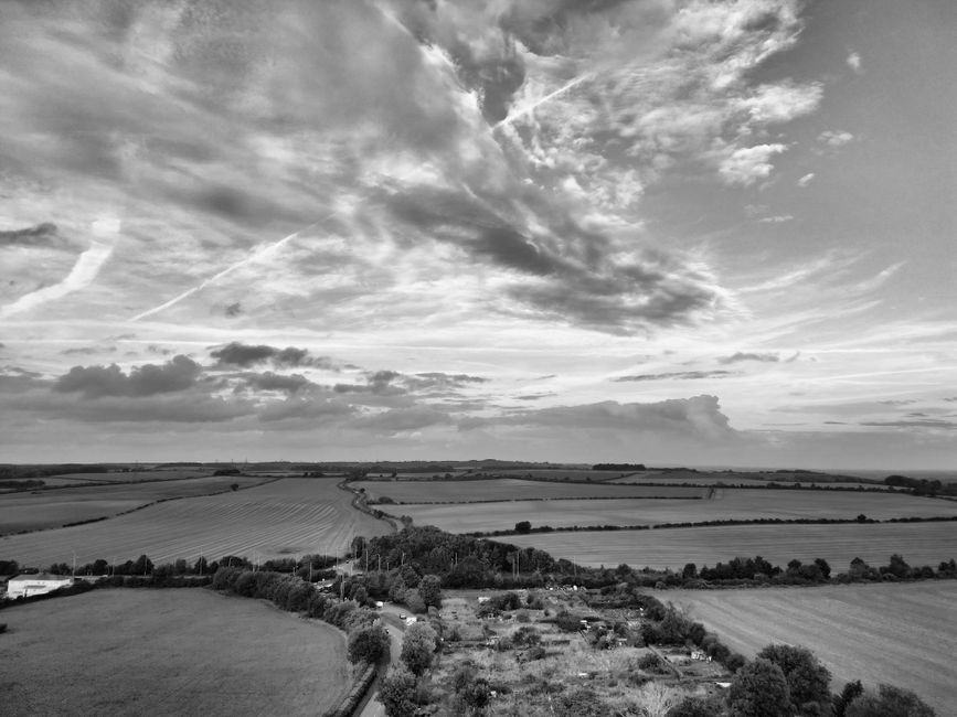
Stock photo for illustration only, not from the actual event
Consequently, heavy rainfall has remained confined to Scotland and Northern Ireland, while parts of England and Wales have stayed much drier than normal. For instance, areas in Herefordshire recorded only a tenth of their expected rainfall by mid-October. The severe dry spell prompted the Environment Agency to declare severe drought in parts of southern England due to exceptionally low reservoir levels.
The delayed arrival of the season's first storm is not unprecedented. Historical data shows that in about half of the years since storm naming began in 2015, the first storm arrived after November 1. The naming season officially starts in September because storm frequency traditionally ramps up as winter approaches.
Yet, a shift is anticipated as the jet stream changes position and strength, allowing deeper low-pressure systems to sweep across more parts of the UK. The Met Office's three-month outlook forecasts double the normal chance of wetter weather and 1.3 times the normal chance of windier conditions, aligning with historical weather patterns observed during previous Pacific El Nino events.
Source: BBC Science & Environment
Found something wrong in this article? Report an issue with this article
Comments
Leave a Comment